B+D 10: terrain360
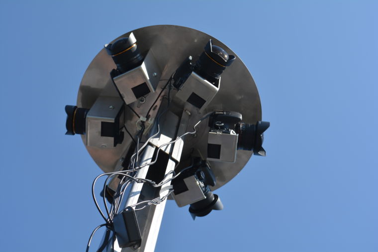
Photo by Phil Riggan
From the confluence of the Cowpasture and Jackson Rivers to the calm waters of the Chesapeake, Ryan Abrahamsen of terrain360 and Andy Thompson of Richmond Outside.com digitally mapped the length of the James River. And yo can use the their findings…for free. Their map exists as a snapshot and provides a basis for looking at a river and its ecosystem in a comprehensive yet concise format. And no stinky raft guides blurring the view! Find out more about “Photohantas” and terrain 360 at Beer+Design 10: choose your own adventure on October 7th, 5:30pm at Studio Two Three, 3300 West Clay Street. Glub, glub!