B+D 10: terrain360
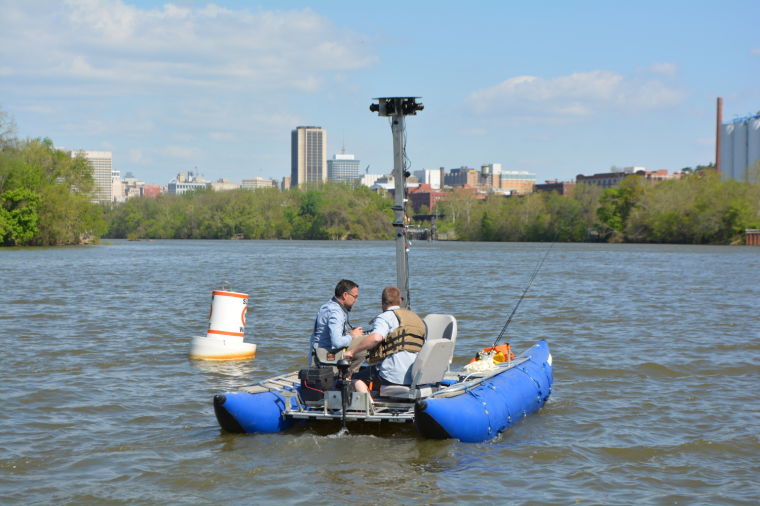
Mapping the James River was the big idea. But what next? How about lugging the camerasarus along the Appalachian Trail through Shenandoah, through the Narrows of Zion, though Bryce, along the ribbon of the Outer Banks. Ryan Abrahamsen and Andy Thompson know our region and beyond, and thrive in making a digital record of our outdoor resources. Our understanding of cartography changes as we transition from paper map (oh, the paper map!) to our interactive screens of mobility. Andy and Ryan have us covered – their adventures inform our own – minus the fussy oversized map folding dance at every junction. Learn more at Beer+Design 10: choose your own adventure. 5:30pm October 7th at Studio Two Three, 3300 West Clay Street. Bring your pfd!